Satellite Photos of Earth
Looking at nature from different perspectives can create stunning compositions for your photographs. This couldn’t be more true than when we look at our planet from outer space and appreciate the reality of its beauty from such an incredible and rarely seen perspective.
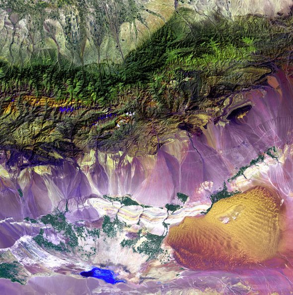
The images in this compilation are from the Landsat 7 satellite and were created to introduce the general public to the Landsat Program.Various combinations of the eight Landsat 7 spectral bands were selected to create the vivid RGB composites that we have featured.
Bogda Mountains – The Turpan Depression, nestled at the foot of China’s Bogda Mountains, is a strange mix of salt lakes and sand dunes, and is one of the few places in the world that lies below sea level.
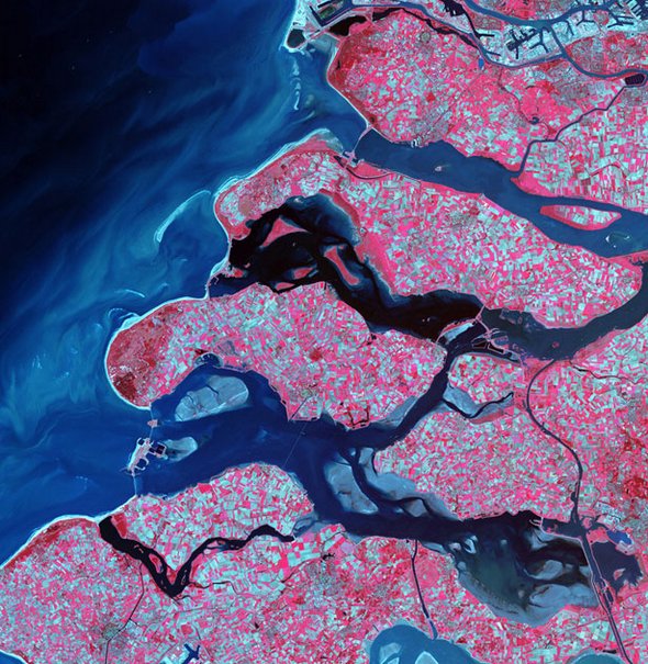
Delta Region, Netherlands – Along the southern coast of the Netherlands, sediment-laden rivers have created a massive delta of islands and waterways in the gaps between coastal dunes. After unusually severe spring tides devastated this region in 1953, the Dutch built an elaborate system of dikes, canals, dams, bridges, and locks to hold back the North sea.
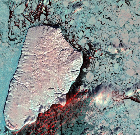
Akpatok Island - Akpatok Island lies in Ungava Bay in northern Quebec, Canada. Accessible only by air, Akpatok Island rises out of the water as sheer cliffs that soar 500 to 800 feet (150 to 243 m) above the sea surface. The island is an important sanctuary for cliff-nesting seabirds. Numerous ice floes around the island attract walrus and whales, making Akpatok a traditional hunting ground for native Inuit people.
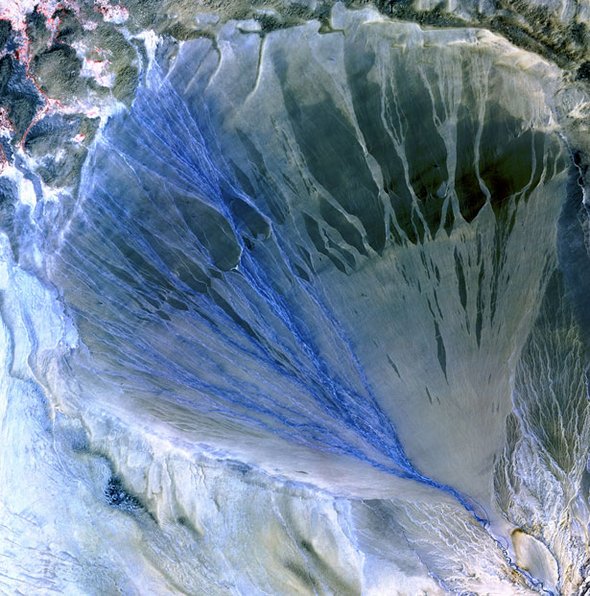
Alluvial Fan, China – A vast alluvial fan blossoms across the desolate landscape between the Kunlun and Altun mountain ranges that form the southern border of the Taklimakan Desert in China’s XinJiang Province.
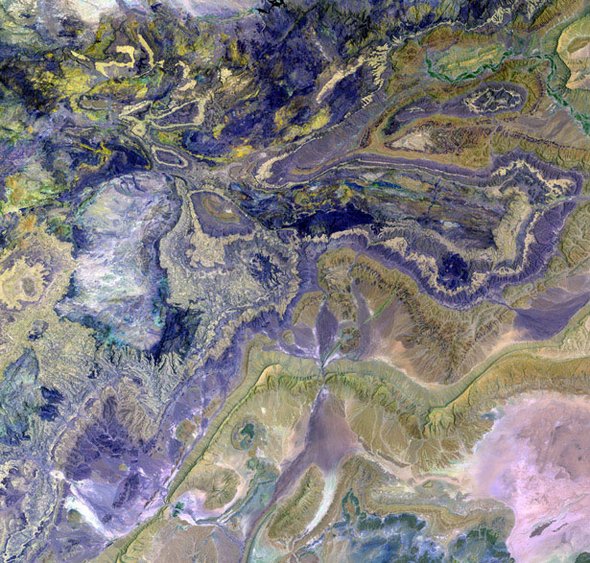
Atlas Mountains – These are the Anti-Atlas Mountains, part of the Atlas Mountain range in southern Morocco, Africa. The region contains some of the world’s largest and most diverse mineral resources, most of which are still untouched.
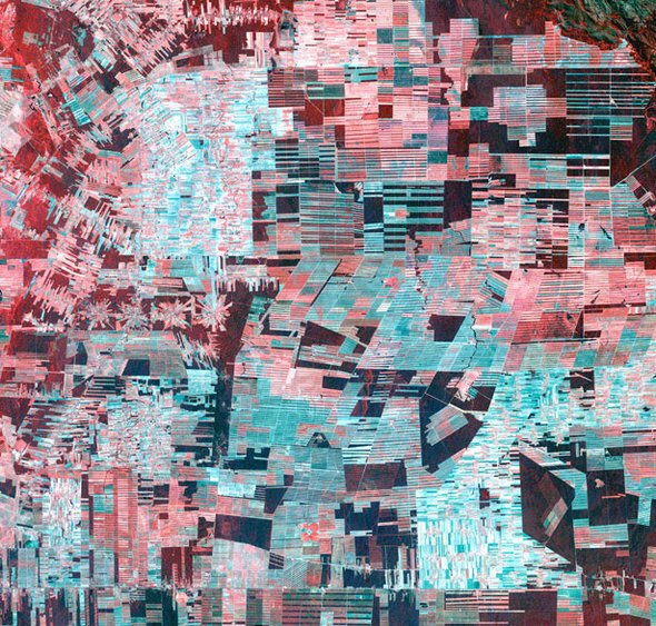
Bolivian Deforestation – Once a vast carpet of healthy vegetation and virgin forest, the Amazon rain forest is changing rapidly. This image of Bolivia shows dramatic deforestation in the Amazon Basin. Loggers have cut long paths into the forest, while ranchers have cleared large blocks for their herds. Fanning out from these clear-cut areas are settlements built in radial arrangements of fields and farms. Healthy vegetation appears bright red in this image.
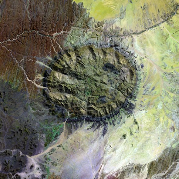
Brandberg Massif – Rising unexpectedly from the heart of the Namib Desert in northern Namibia, the Brandberg Massif is an exhumed granite intrusion. Unique plant and animal communities thrive in its high-altitude environment, and prehistoric cave paintings decorate walls hidden in its steep cliffs.
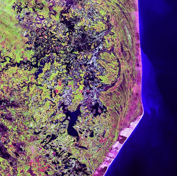
Cabo San Antonio – Several hundred kilometers southeast of Buenos Aires, Cabo San Antonio juts out into the Atlantic Ocean along the Argentinean Coast.
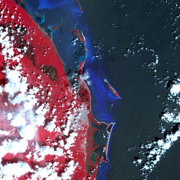
Cancun – Known for its beaches and resort hotels, Cancun lies at the tip of Mexico’s Yucatan Peninsula. Inland from this tourist mecca, however, lies a sparsely populated tropical scrub forest that shelters the ruins of ancient Mayan cities.
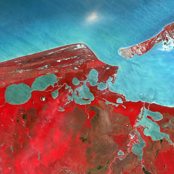
Campeche – Named after the ancient Mayan Province of Kimpech, the state of Campeche comprises much of the western half of Mexico’s Yucatan Peninsula. Rivers in southern Campeche drain into the immense Terminos Lagoon, the entrance to which is protected by a long barrier island, Isla Del Carmen.
0 comments:
Post a Comment